Category:Snow depth data
Jump to navigation
Jump to search
English: Snow depth is a fundamental weather observation. This category is for graphical representations of observations
accumulated level of snow present  | |||||
| Upload media | |||||
| Subclass of | |||||
|---|---|---|---|---|---|
| Facet of | |||||
| Different from | |||||
| |||||
Subcategories
This category has the following 3 subcategories, out of 3 total.
- Snow depth maps (9 F)
S
- Snow course marker (13 F)
- Snow rulers (34 F)
Media in category "Snow depth data"
The following 10 files are in this category, out of 10 total.
-
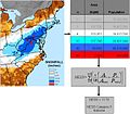 NESIS description NCDC.jpg 660 × 578; 59 KB
-
 170213-FS-ShastaTrinity-UNK (32846053096).jpg 600 × 800; 61 KB
-
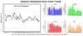 Northern Hemisphere Snow Cover Graph (PNG).png 800 × 351; 54 KB
-
 Northern Hemisphere Snow Cover Graph (Raw).gif 800 × 313; 44 KB
-
 Snow Survey102 (38349247694).jpg 2,250 × 1,500; 1.78 MB
-
 Snømåling (5491364325).jpg 800 × 762; 407 KB
-
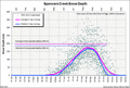 Spencers Creek Average Depths.png 772 × 519; 254 KB
-
 Spencers Creek Snow Depths.png 968 × 329; 197 KB
-
 Townsend creek snowtel data 1980-2017.jpg 1,585 × 803; 129 KB
-
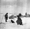
 Workers measuring snowpack, 1990 (34135061961).jpg 1,200 × 787; 192 KB

.jpg)
.png)
.jpg)
.jpg)


.jpg)
.gif)