File:Quaternary Geologic Map Minnesota.jpg
Jump to navigation
Jump to search

Size of this preview: 528 × 599 pixels. Other resolutions: 211 × 240 pixels | 423 × 480 pixels | 677 × 768 pixels | 902 × 1,024 pixels | 1,804 × 2,048 pixels | 15,203 × 17,256 pixels.
Original file (15,203 × 17,256 pixels, file size: 53.93 MB, MIME type: image/jpeg)
Captions
Captions
Add a one-line explanation of what this file represents
| Description |
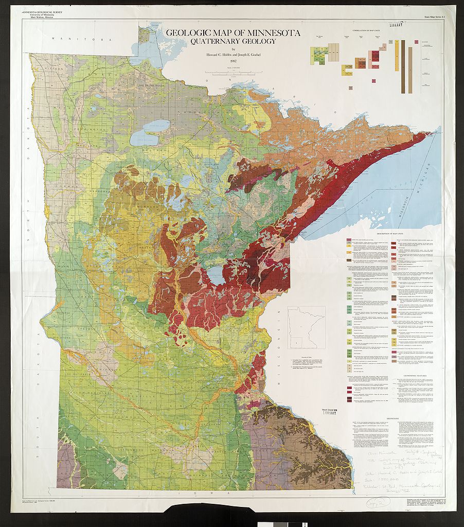
English: This map shows the Quaternary surficial geology of the US state of Minnesota |
| Date | |
| Source | Minnesota Geological Survey, University of Minnesota |
| Author | Minnesota Geological Survey, University of Minnesota |
| Warning | The original file is very high-resolution. It might not load properly or could cause your browser to freeze when opened at full size. |
|---|
Licensing[edit]
| This work has been released into the public domain by its copyright holder, The Minnesota Geological Survey. This applies worldwide. In some countries this may not be legally possible; if so: The Minnesota Geological Survey grants anyone the right to use this work for any purpose, without any conditions, unless such conditions are required by law.
|
| The Minnesota Geological Survey has placed this image in the public domain with the request that credit be given to the Minnesota Geological Survey, University of Minnesota, and to the author(s) of the specific work. These images are available through the Minnesota Digital Library, "Minnesota Reflections". More information on the Minnesota Geological Survey map and report scanning project can be found here. |
File history
Click on a date/time to view the file as it appeared at that time.
| Date/Time | Thumbnail | Dimensions | User | Comment | |
|---|---|---|---|---|---|
| current | 03:13, 7 February 2009 | | 15,203 × 17,256 (53.93 MB) | Awickert (talk | contribs) | {{Information |Description={{en|1=This map shows the Quaternary surficial geology of the US state of Minnesota}} |Source=Minnesota Geological Survey, University of Minnesota |Author=Minnesota Geological Survey, University of Minnesota |Date=1982 |Permissi |
You cannot overwrite this file.
File usage on Commons
There are no pages that use this file.
File usage on other wikis
The following other wikis use this file:
- Usage on en.wikipedia.org
Metadata
Categories:
- Geological maps of Minnesota
- Quaternary geology of the United States
- Quaternary geology of Minnesota
- Holocene mine pits and dumps in Minnesota
- Holocene peat in Minnesota
- Holocene alluvium in Minnesota
- Quaternary terraces in Minnesota
- Quaternary colluvium in Minnesota
- Deposits associated with the Des Moines Lobe
- Lake-modified till in Minnesota (Des Moines Lobe)
- Ground moraines in Minnesota (Des Moines Lobe)
- Stagnation moraines in Minnesota (Des Moines Lobe)
- Erskine Moraine
- Big Stone Moraine
- Culver Moraine
- Sugar Hills Moraine
- Altamont Moraine
- Pince City Moraine
- Bemis Moraine
- Quaternary glacial lake sediments in Minnesota
- Deposits associated with the Lake Superior Lobe
- Nickerson Moraine
- Cloquet Moraine
- Mille Lacs-Highland Moraine
- St. Croix Moraine
- Deposits associated with the Rainy Lobe
- Vermilion Moraine
- Nashwauk Moraine
- End moraines in Minnesota
- Deposits associated with the Wadena Lobe
- Itasca Moraine
- Alexandria Moraine
- Pleistocene (pre-wisconsian) deposits
- Red Drift in Minnesota
- Gray Drift in Minnesota
- Weathering residuum over bedrock (pre-wisconsian) in Minnesota