File:Chaussée Romaine in Gaume (DSCF6655).jpg
Original file (4,903 × 3,296 pixels, file size: 10.95 MB, MIME type: image/jpeg)
Captions
Summary
[edit]DescriptionChaussée Romaine in Gaume (DSCF6655).jpg |
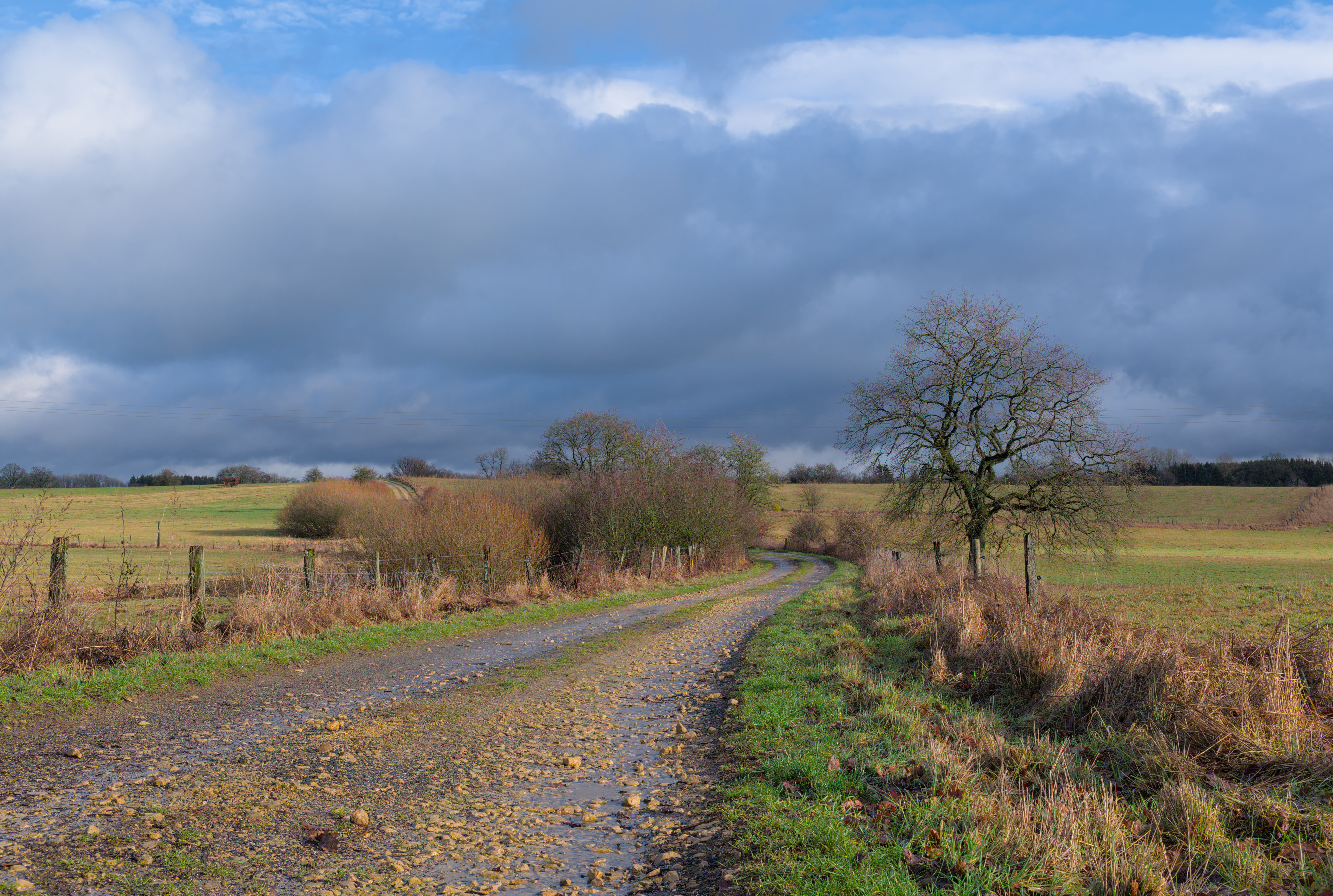
English: Chaussée Romaine in Gaume Natural Park (Étalle, Belgium)
|
|||
Date | ||||
Source | Own work | |||
Author | Trougnouf (Benoit Brummer) |
Camera location | 49° 40′ 39.36″ N, 5° 37′ 57.79″ E | View this and other nearby images on: OpenStreetMap | 49.677601; 5.632720 |
---|
Licensing
[edit]- You are free:
- to share – to copy, distribute and transmit the work
- to remix – to adapt the work
- Under the following conditions:
- attribution – You must give appropriate credit, provide a link to the license, and indicate if changes were made. You may do so in any reasonable manner, but not in any way that suggests the licensor endorses you or your use.
This image was uploaded as part of the photo contest Wiki Loves Heritage in Belgium in 2020.
Deutsch | English | français | Nederlands | +/− |
This image has been assessed using the Quality image guidelines and is considered a Quality image.
العربية ∙ جازايرية ∙ беларуская ∙ беларуская (тарашкевіца) ∙ български ∙ বাংলা ∙ català ∙ čeština ∙ Cymraeg ∙ Deutsch ∙ Schweizer Hochdeutsch ∙ Zazaki ∙ Ελληνικά ∙ English ∙ Esperanto ∙ español ∙ eesti ∙ euskara ∙ فارسی ∙ suomi ∙ français ∙ galego ∙ עברית ∙ हिन्दी ∙ hrvatski ∙ magyar ∙ հայերեն ∙ Bahasa Indonesia ∙ italiano ∙ 日本語 ∙ Jawa ∙ ქართული ∙ 한국어 ∙ kurdî ∙ Lëtzebuergesch ∙ lietuvių ∙ македонски ∙ മലയാളം ∙ मराठी ∙ Bahasa Melayu ∙ Nederlands ∙ Norfuk / Pitkern ∙ polski ∙ português ∙ português do Brasil ∙ rumantsch ∙ română ∙ русский ∙ sicilianu ∙ slovenčina ∙ slovenščina ∙ shqip ∙ српски / srpski ∙ svenska ∙ தமிழ் ∙ తెలుగు ∙ ไทย ∙ Tagalog ∙ Türkçe ∙ toki pona ∙ українська ∙ vèneto ∙ Tiếng Việt ∙ 中文 ∙ 中文(简体) ∙ 中文(繁體) ∙ +/− |
File history
Click on a date/time to view the file as it appeared at that time.
Date/Time | Thumbnail | Dimensions | User | Comment | |
---|---|---|---|---|---|
current | 20:55, 15 October 2020 | 4,903 × 3,296 (10.95 MB) | Trougnouf (talk | contribs) | Uploaded with dtMediaWiki 47 |
You cannot overwrite this file.
File usage on Commons
The following 9 pages use this file:
- User:Trougnouf
- User:Trougnouf/another page
- User talk:Trougnouf/Archive 2020
- Commons:Files used on OpenStreetMap/40
- Commons:Photo challenge/2020 - October - Long distance views
- Commons:Photo challenge/2020 - October - Long distance views/Voting
- Commons:Photo challenge/2020 - October - Long distance views/Voting/Result
- Commons:Quality images/Subject/Architecture/Transport Infrastructure/Other
- Commons:Quality images candidates/Archives October 20 2020
File usage on other wikis
The following other wikis use this file:
- Usage on fr.wikipedia.org
- Usage on it.wikipedia.org
Metadata
This file contains additional information such as Exif metadata which may have been added by the digital camera, scanner, or software program used to create or digitize it. If the file has been modified from its original state, some details such as the timestamp may not fully reflect those of the original file. The timestamp is only as accurate as the clock in the camera, and it may be completely wrong.
Camera manufacturer | FUJIFILM |
---|---|
Camera model | X-T1 |
Author | Trougnouf (Benoit Brummer) |
Copyright holder |
|
Exposure time | 1/85 sec (0.011764705882353) |
F-number | f/11 |
ISO speed rating | 200 |
Date and time of data generation | 14:23, 17 January 2019 |
Lens focal length | 26.5 mm |
User comments | Chaussée Romaine in Gaume Natural Park (Étalle, Belgium) |
Latitude | 49° 40′ 39.36″ N |
Longitude | 5° 37′ 57.79″ E |
Altitude | 346.5 meters above sea level |
Short title |
|
Image title |
|
Orientation | Normal |
Horizontal resolution | 300 dpi |
Vertical resolution | 300 dpi |
Software used | darktable 1.0+21752~gecae6cb5c |
File change date and time | 22:55, 15 October 2020 |
Y and C positioning | Co-sited |
Exposure Program | Aperture priority |
Exif version | 2.3 |
Date and time of digitizing | 14:23, 17 January 2019 |
Meaning of each component |
|
Image compression mode | 2.5 |
APEX shutter speed | 6.42 |
APEX aperture | 6.9 |
APEX brightness | 7.38 |
APEX exposure bias | 0 |
Maximum land aperture | 3 APEX (f/2.83) |
Metering mode | Pattern |
Light source | Unknown |
Flash | Flash did not fire |
Supported Flashpix version | 1 |
Color space | sRGB |
Focal plane X resolution | 820 |
Focal plane Y resolution | 820 |
Focal plane resolution unit | 3 |
Sensing method | One-chip color area sensor |
File source | Digital still camera |
Scene type | A directly photographed image |
Custom image processing | Normal process |
Exposure mode | Auto exposure |
White balance | Auto white balance |
Focal length in 35 mm film | 40 mm |
Scene capture type | Standard |
Sharpness | Normal |
Subject distance range | Unknown |
GPS tag version | 0.0.2.2 |
Rating (out of 5) | 3 |
Keywords |
|
Structured data
Items portrayed in this file
depicts
some value
17 January 2019
49°40'39.3647"N, 5°37'57.7920"E
0.01176470588235294117 second
11
26.5 millimetre
200
image/jpeg
c94232cc0f9026a543d1da8c54e795b164262199
11,482,637 byte
3,296 pixel
4,903 pixel
- Images from Wiki Loves Heritage Belgium in 2020 - immovable heritage
- Images from Wiki Loves Heritage Belgium in 2020 - Wallonia
- Files with coordinates missing SDC location of creation (49° N, 5° E)
- CC-BY-4.0
- Self-published work
- Images from Wiki Loves Heritage Belgium in 2020
- Quality images
- Quality images missing SDC depicts
- Images from Wiki Loves Heritage Belgium in 2020 needing check
- Taken with Fujifilm X-T1 and XF18-55mmF2.8-4 R LM OIS
- F-number f/11
- Lens focal length 26.5 mm
- ISO speed rating 200
- Uploaded with dtMediaWiki
- Quality images of roads and streets in Belgium
- Quality images from Wiki Loves Heritage Belgium in 2020
- Quality images of cultural heritage monuments in Belgium
- Quality images of Étalle
- Quality images of Luxembourg (Belgium) by User:Trougnouf
- Photographs by Trougnouf in 2019
- Belgium photographs taken on 2019-01-17
- Pages with maps