File:Caen Plan1705.jpg
Jump to navigation
Jump to search

Size of this preview: 800 × 592 pixels. Other resolutions: 320 × 237 pixels | 640 × 473 pixels | 1,024 × 758 pixels | 1,280 × 947 pixels | 2,075 × 1,535 pixels.
Original file (2,075 × 1,535 pixels, file size: 952 KB, MIME type: image/jpeg)
Captions
Captions
Add a one-line explanation of what this file represents
Summary
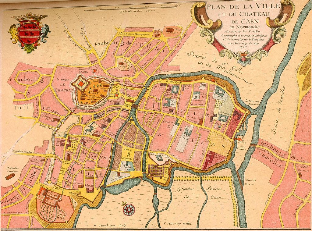
[edit]| Description | «Plan de la ville et du château de Caen en Normandie. Mis à jour par N de Fer Géographe de sa Majesté Catholique et de Monseigneur le Dauphin avec Privilège du Roy. 1705» | ||||||||||||||||||||
| Date | |||||||||||||||||||||
| Source | Archives | ||||||||||||||||||||
| Author |
|
||||||||||||||||||||
| Other versions |
|
||||||||||||||||||||

Licensing
[edit]|
This work is in the public domain in its country of origin and other countries and areas where the copyright term is the author's life plus 100 years or fewer. | |
| This file has been identified as being free of known restrictions under copyright law, including all related and neighboring rights. | |


File history
Click on a date/time to view the file as it appeared at that time.
| Date/Time | Thumbnail | Dimensions | User | Comment | |
|---|---|---|---|---|---|
| current | 12:15, 15 October 2007 | | 2,075 × 1,535 (952 KB) | Karldupart (talk | contribs) | {{Information |Description=Plan de Caen (1705) |Source=archives |Date=1705 |Author=N Defer |Permission= |other_versions= }} |
You cannot overwrite this file.
File usage on Commons
The following page uses this file:
File usage on other wikis
The following other wikis use this file: