File:Blank map of the United States.PNG

Original file (1,513 × 983 pixels, file size: 80 KB, MIME type: image/png)
Captions
Captions

|
This file has been superseded by Blank USA, w territories.svg. It is recommended to use the other file. Please note that deleting superseded images requires consent. Reason to use the other file: "A vector version is available."
|

|
Summary[edit]
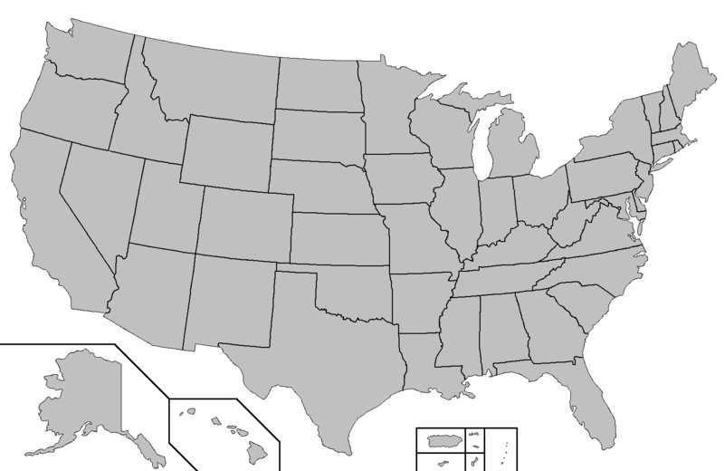
This map was created using this map: Map of USA with county outlines. It shows the 50 states as well as Puerto Rico, American Samoa, Guam, the United States Virgin Islands, and the Northern Mariana Islands.
Licensing[edit]

|
This work is free software; you can redistribute it and/or modify it under the terms of the GNU General Public License as published by the Free Software Foundation; either version 2 of the License, or any later version. This work is distributed in the hope that it will be useful, but without any warranty; without even the implied warranty of merchantability or fitness for a particular purpose. See version 2 and version 3 of the GNU General Public License for more details. |
derivative works[edit]
Derivative works of this file:
File history
Click on a date/time to view the file as it appeared at that time.
| Date/Time | Thumbnail | Dimensions | User | Comment | |
|---|---|---|---|---|---|
| current | 04:29, 4 July 2006 | | 1,513 × 983 (80 KB) | Zntrip (talk | contribs) | This map was created using this map: [http://en.wikipedia.org/wiki/Image:Map_of_USA_with_county_outlines.png Map of USA with county outlines]. It shows the 50 states as well as Puerto Rico, American Samoa, Guam, the United States Virgin Islands, and the N |
You cannot overwrite this file.
File usage on Commons
The following 6 pages use this file:
File usage on other wikis
The following other wikis use this file:
- Usage on en.wikipedia.org